
Where is Curacao
Where is Curacao Located?
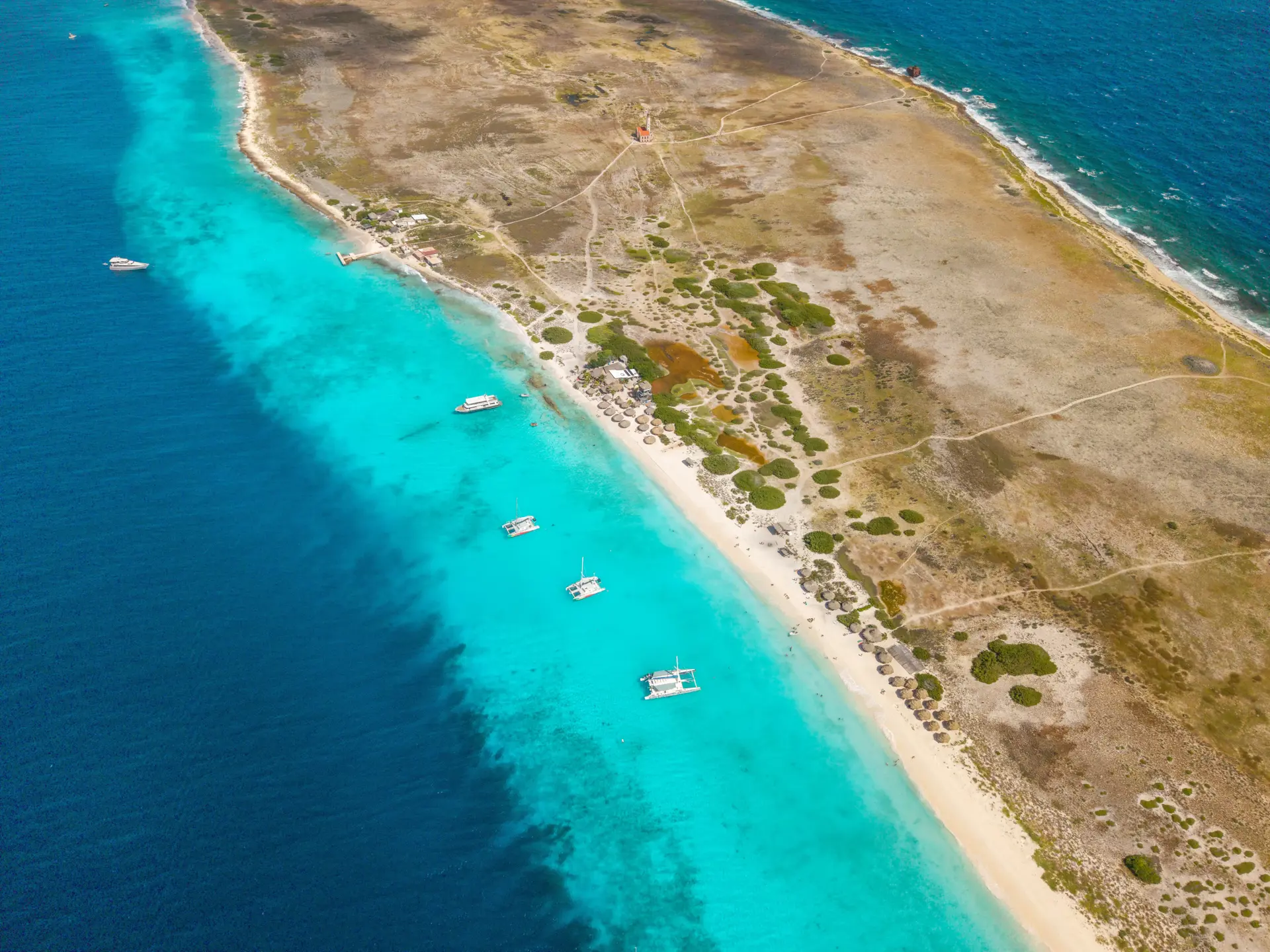
Curacao is located in the southern Caribbean Sea, just off the coast of Venezuela and about 65 kilometers (40 miles) north of the South American mainland. The island lies just outside the hurricane belt, making Curacao a reliably sunny and warm destination all year long. Positioned around 12º north of the equator, the climate stays stable with average temperatures of 27–30°C (81–86°F) and steady trade winds from the east that bring a refreshing breeze, especially in the spring months.
Curacao’s Position in the Caribbean
Curacao is part of the Lesser Antilles and forms the ABC Islands together with Aruba and Bonaire. It is an autonomous country within the Kingdom of the Netherlands, which explains the island’s Dutch influences in architecture, language, and culture.
Curacao covers 444 km² and stretches 61 km from northwest to southeast. The width varies between 5 and 14 km.
Distances and Travel Times on the Island
Because Curacao is long and narrow, most places are easily accessible by car.
Typical driving times:
- From one side to the other: 60-70 minutes
- Airport → Willemstad (city center): 15–20 minutes
- Willemstad → Mambo Beach: 8–10 minutes
- Willemstad → Jan Thiel Beach: 15–20 minutes
- Willemstad → Westpunt (Knip Beaches): 40-50 minutes
This compact size makes it easy for visitors to explore beaches, national parks, and cultural sites in a short time.
Why Curacao’s Location Is Ideal for Travelers
Curacao’s southern Caribbean position makes it easily accessible from:
- Europe (Amsterdam) – daily flights
- North America (Miami, New York, Charlotte, Toronto, Montreal)
- South America (Colombia, Panama, Brazil)
- Caribbean island hopping (Aruba & Bonaire)
Its safe location outside the hurricane belt also means fewer travel disruptions and consistent sunny weather year-round.
Browse and Book the Best Tours
- Amazonia
- Andy Max Adventures
- Annabay club
- Aquafari
- Arcane VR
- Blue Coast Water Sports
- Blue Curacao Distillery
- BlueFinn
- Blue Rental and Repair
- Clear Boat Curacao
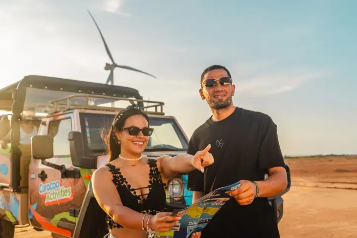
- Curacao Activities
- Curacao Tours - FBTT
- CurAloe
- DLN Excursions
- Dolphin Academy
- Eco Cruise
- El Capitano
- Fish Charter Curacao
- Helmi Smeulders
- Hofi Mango
- Irie Tours
- Landhuis San Nicolas
- Mermaid Boat Trips
- Mesoestetic
- Miss Ann
- Mr. Hamilton
- PocketGuide
- Powerboat Caribbean
- Rock Climbing Curacao
- Sea Aquarium
- SeaTREK
- Splashy Iguana Tours
- Studio Ferdi
- Substation Curacao
- SUP Curacao
- Tiki Boats Rental
- Tugboat Beach
- Turtle & Ray Productions
- Rif Mangrove Park
Katjana_Cabenda_3683.png?version=31023&width=720)

Sorry, no posts matched your criteria.